


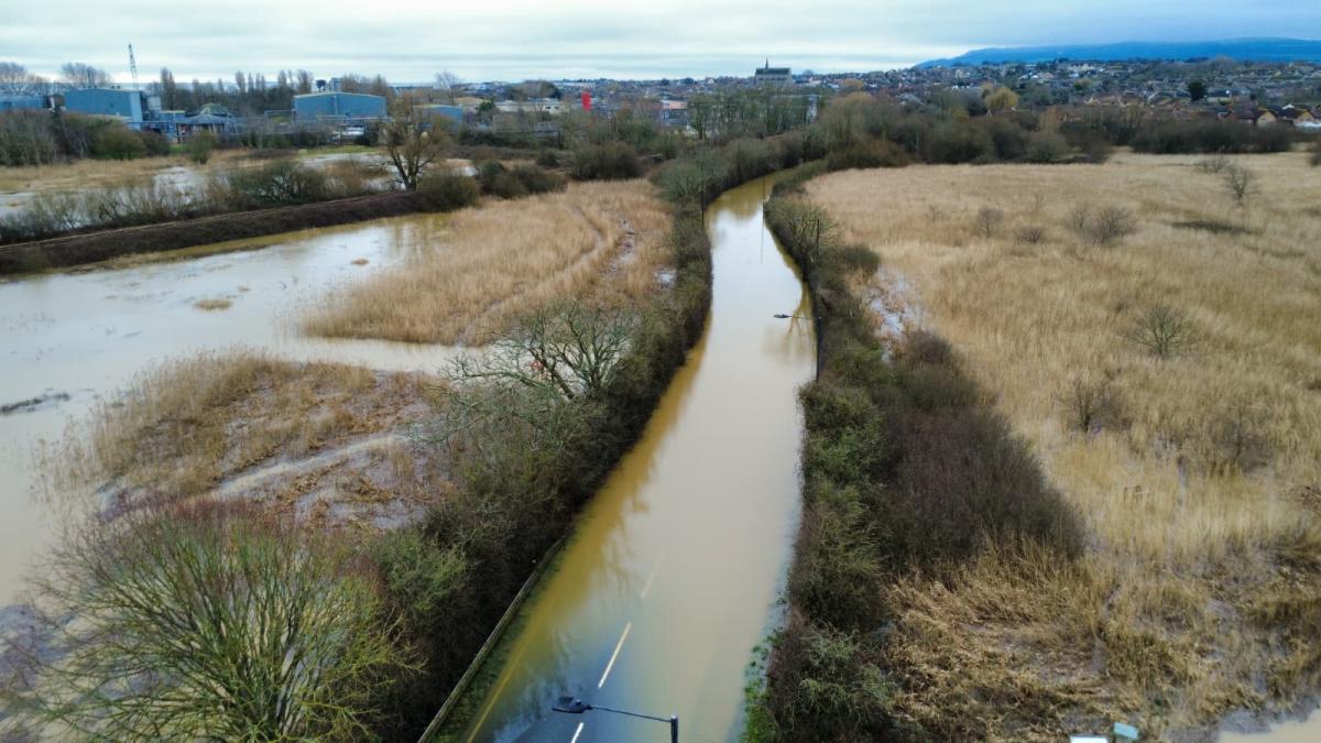

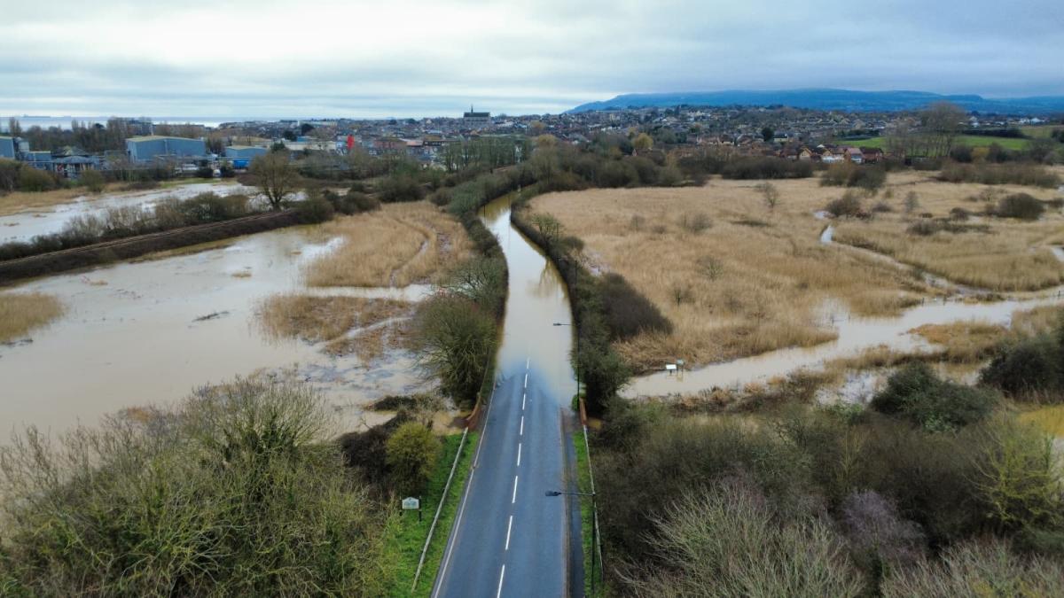


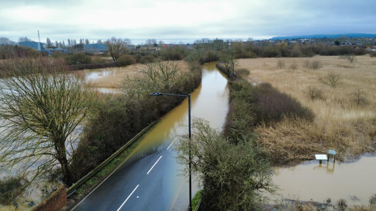
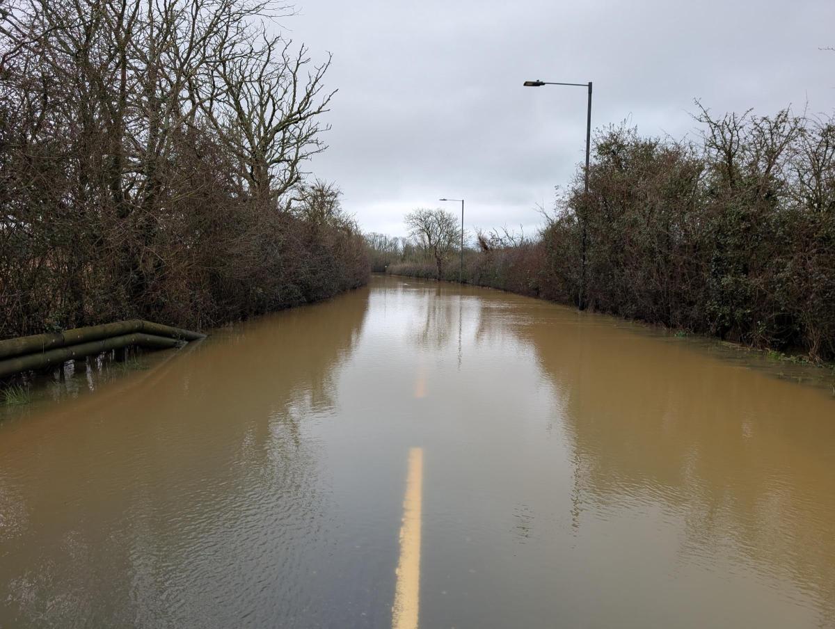


Floodwater has once again swallowed Morton Common Road on the Isle of Wight, leaving the key route between Sandown and Brading completely impassable.
See the gallery of photos above
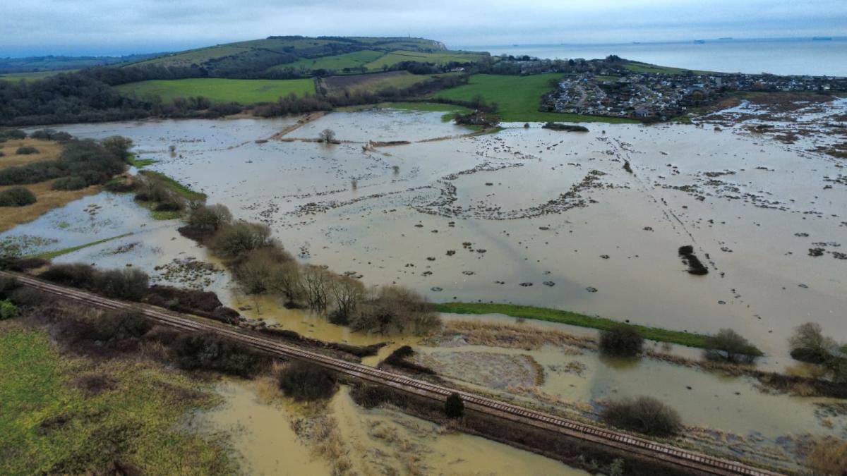
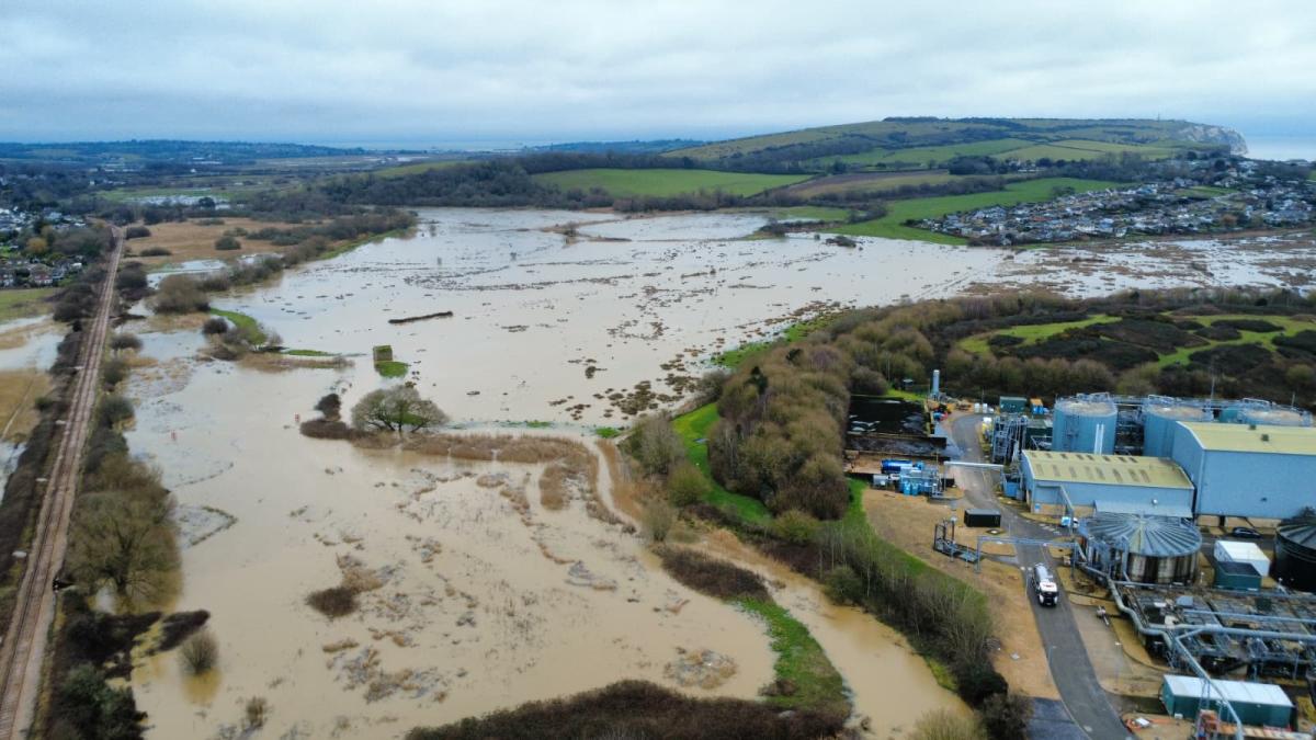
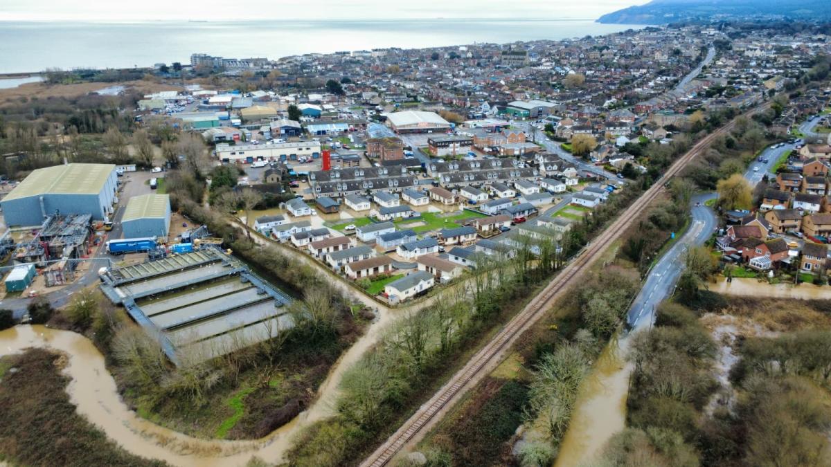
Drone images taken yesterday (Thursday, February 19) show the carriageway disappearing beneath muddy water, as the Eastern Yar overflowed across Brading Marshes.
Surrounding fields have been transformed into a temporary lake, with only the Island Line railway and higher ground remaining above the flood.
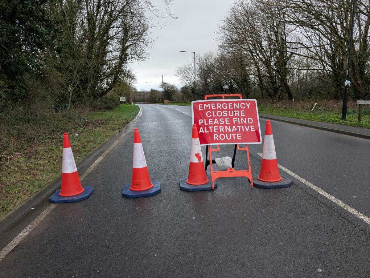
Morton Common Road has been closed for most of this week following heavy rainfall, with the Environment Agency confirming that 45mm of rain fell within a 24-hour period.
A flood alert remains active for the Eastern Yar.
The agency warns that high levels today could lead to further flooding of low-lying land, roads and cycle tracks and footpaths close to the river.
At Langbridge and Alverstone, the river is close to full, with further impacts expected at Morton Common, as well as Golf Links Road in Sandown.
River levels are forecast to continue rising throughout the day, with flooding impacts likely to persist for at least two days.
Ditches around Fort Holiday Park are also struggling to drain while river levels remain high, and minor garden flooding is possible on the nearby Nicholas Close.

Motorists have been urged not to ignore road closure signs and not to attempt to drive through floodwater.
While no vehicles attempted to pass through the submerged section during the County Press visit to the site, several drivers ignored the closure signs and continued towards the water’s edge before being forced to turn around.
Flooding at Morton Common has become a regular occurrence in recent years.
The low-lying marshland is particularly vulnerable when prolonged rainfall coincides with already elevated river levels.
Nearby footpaths across Brading Marshes are also underwater.

A resident living close to the marsh told the County Press the water has spread further up Morton Common Road in the past – but said this flood is “as deep as I’ve ever seen it.”
He recalled being told by his father that people once used to take boats along the road during severe floods – something he said now does not seem so far-fetched.
The Environment Agency said it is continuing to monitor the situation, checking rivers for blockages and operating the Bembridge sluices to manage water levels.
An updated flood message is expected by tomorrow evening (Saturday, February 21).


Share